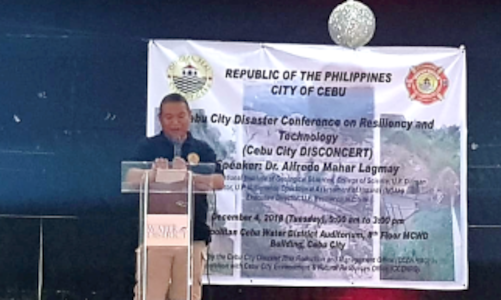
December 4, 2018— The Cebu City Government holds its Cebu City Disaster Conference-Resiliency and Technology (DISCONCERT) at the MCWD Auditorium
With the increasing number of disasters have taking place in Cebu in the recent years, the Cebu City Government is now making the move to make disaster risk reduction information, understandable and readily available to all Cebuanos. The Cebu City Disaster Conference-Resiliency and Technology (DISCONCERT), discusses commonly encountered challenges on hazards and disaster management in Cebu. It takes a special focus on educating stakeholders regarding the available research and technology from the academe and the Department of Science and Technology (DOST).
Lloyd G. Yosoya, CCEF Marketing and Resource Generation Officer, and Alyza T. Tan, CCEF Communications and Development Associate represented CCEF during the conference,to further enhance the technological skills of the foundation in locating hazards and vulnerable areas in our current projects.
As an opening message, Nagiel Bañacia introduces the DISCONCERT, as a movement by the Cebu City Government in improving its efficiency in mitigating disasters through various innovations and technology. With this, he placed emphasis that Urban Resilience is a priority project of our current mayor, Tomas Osmeña.
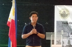
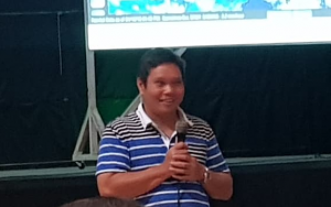
Accomplished researchers presented their newest findings and technology. First to present was Chito Patiño, Supervising Science Research Specialist of the Center for Environmental Informatics—UP Cebu. Using technology and their expertise in Computer Sciences, their team has mapped fire-prone areas, water supply, biodiversity and mango production. They also were able to innovate a biodiversity mapping application, which makes data collection faster by letting people help locate different terrestrial flora and fauna of Cebu.
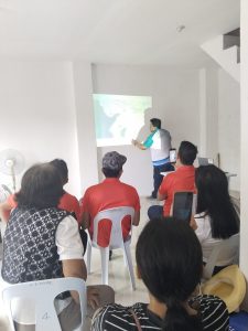
Following their discussion was Dr. Alfredo Mahar Francisco Lagmay , Executive director of Project NOAH (Nationwide Operational Assessment of Hazards) and a professor at the National Institute of Geological Sciences of the University of the Philippines Diliman. His discussion was a hands-on demonstration of how to use the nowCOAST which is NOAA’s Real-Time Web Mapping Portal.
More Pictures
